University of Minnesota
http://www.umn.edu/
612-625-5000
http://www.umn.edu/
612-625-5000
Minnesota Biodiversity Atlas
Bell Museum
Dataset: MIN-Plants
Search Criteria: Japan; Wakayama Prefecture; excluding cultivated/captive occurrences
1
Page 1, records 1-15 of 15
Bell Museum plants | |
 MIN:Plants | 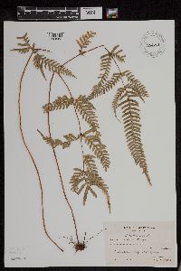 Pteris dispar Kunze 954271[1294583]Koyama, S. 4 Japan, Wakayama Prefecture |
MIN:Plants | 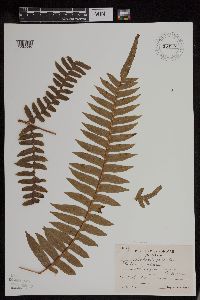 Pteris inaequalis var. aequata (Miq.) Tagawa 954273[1294585]Koyama, S. 37 Japan, Wakayama Prefecture |
MIN:Plants | 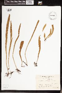 Loxogramme salicifolia (Makino) Makino 954283[1294595]Koyama, S. 23 Japan, Wakayama Prefecture |
MIN:Plants | 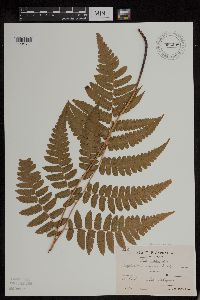 Diplazium virescens Kunze 954298[1294611]Koyama, S. 60 Japan, Wakayama Prefecture |
MIN:Plants | 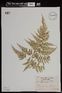 Dennstaedtia scabra (Wall. ex Hook.) T. Moore 954300[1294613]Koyama, S. 64 Japan, Wakayama Prefecture |
MIN:Plants | 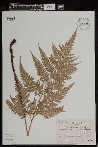 Rumohra pseudoaristata (Tagawa) H. Itô 954301[1294614]Koyama, S. 65 Japan, Wakayama Prefecture |
MIN:Plants | 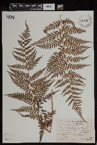 Athyrium multifidum Rosenst. 954302[1294615]Koyama, S. 69 Japan, Wakayama Prefecture |
MIN:Plants | 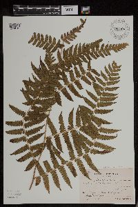 Diplazium hachijoense Nakai 954306[1294619]Koyama, S. 78 Japan, Wakayama Prefecture |
MIN:Plants | 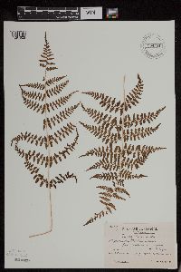 Athyrium multifidum Rosenst. 954311[1294625]Koyama, S. 93 Japan, Wakayama Prefecture |
MIN:Plants | 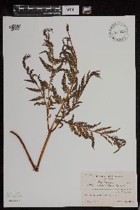 Pteris wallichiana J. Agardh 954312[1294626]Koyama, S. 95 Japan, Wakayama Prefecture |
MIN:Plants | 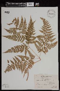 Leptorumohra miqueliana (Maxim. ex Franch. & Sav.) H. Itô 954313[1294627]Koyama, S. 97 Japan, Wakayama Prefecture |
MIN:Plants | 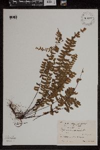 Asplenium normale D. Don 954314[1294628]Koyama, S. 98 Japan, Wakayama Prefecture |
MIN:Plants | 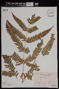 Pteris fauriei Hieron. 954316[1294630]Koyama, S. 104 Japan, Wakayama Prefecture |
MIN:Plants | 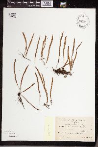 Lepisorus onoei (Franch. & Sav.) Ching 954322[1294636]Koyama, S. 112 Japan, Wakayama Prefecture |
MIN:Plants | 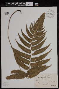 Diplazium mettenianum (Miq.) C. Chr. 954334[1294648]Koyama, S. 144 Japan, Wakayama Prefecture |
1
Page 1, records 1-15 of 15
Google Map
Google Maps is a web mapping service provided by Google that features a map that users can pan (by dragging the mouse) and zoom (by using the mouse wheel). Collection points are displayed as colored markers that when clicked on, displays the full information for that collection. When multiple species are queried (separated by semi-colons), different colored markers denote each individual species.